I began to look for New York fiber farms online in 2013. In 5 years, my database has grown to over 470 sheep, alpaca, and goat farms, and I am sure there are many more. I looked at several mapping platforms to visually communicate my fiber farm research including ArcGIS, QGIS BatchGeo, CartoDB, Google Earth, and Google Maps. I also looked at SourceMap for supply chain mapping, and Mapbox that has previously been used by Fibershed to showcase fiber mills in the United States. Since Google launched their Google Arts & Culture web and mobile platform featuring international museum exhibits with a 360° virtual reality option, I developed a renewed interest in Google based on my previous experience with 360° fiber imagery.
A recent article by cartographer Justin O’Beirne conveys how Google has been adding “structures” in rural landscapes to accurately represent aerial views. This includes visualizations of homes, garages, and tool sheds. How can advances in Google mapping technologies be used to highlight fiber farms with natural fibers in rural and suburban locations? An initial step is to make a fiber farm map database available and highlight farms as important places with local fibers, fiber arts, and/or fiber agro-tourism. Currently, Google highlights “Areas of Interest” that are predominantly in commercial areas that include shopping and restaurants. In the future, Areas of Interest may include interesting businesses in rural and suburban areas such as fiber farms and design studios.
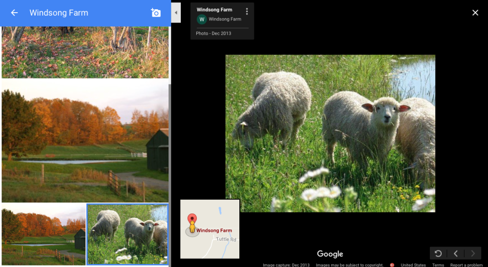
Based on the information fiber farmers already post on their websites, Google has begun to use the data to present landmarks and photographs as shown below with Fingerlakes sheep and alpaca farms. Although Google Street View is yet to reach many farms, the content that farmers post online is accessible through Google Maps.

The next step is to highlight where different farms are in one collective website for fiber artisans, designers, and educators interested in sourcing New York fibers. Below is a pilot version of a New York fiber farm map database that I am developing as the first Fiber Novation Loops fashion, agriculture, and technology project.
It currently shows the farm name, county, and general fiber animals, not addresses. I hope to develop the map further based on farmer’s interest in having their farm showcased. If you are a farmer interested, please fill out this survey to update the map with more details about your farm, products available, and website. This is an ongoing project in collaboration with New York farmers, and I hope to eventually extend it throughout the United States to increase the visibility of natural fibers and farms in the United States.

What a terrific idea, Helen! I’m going to have to find out what we have going on here in Oregon like this. Thanks!!
Good for you! It’s years since I lived in New York, but I really applaud all the research that is going into this great resource. And thank you for the follow, I appreciate it!